MACHU (Managing Cultural Heritage Underwater) aims to support new and better ways for effective management of our underwater cultural heritage and to make information about our common underwater cultural heritage accessible to researchers and policy makers.
MACHU was originated as a three-year project involving seven countries sponsored by the European Union’s Culture 2000 programme. The project ran from September 2006 to August 2009. As a result, the MACHU project initiated the development of a web-based GIS application for management and research.
GIS System
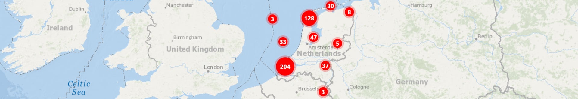
As a GIS (Geographic Information System), MACHU combines heritage information with other specific area related subjects, such as site research data, environmental data, legislative information and historic maps. The digital system is also used for the exchange of data on Dutch ships overseas.
MACHU contains a number of standard map layers (web map services) provided by MACHU partners and third parties. Users can extend these map layers with new map layers for personal use. For instance to examine possible threads to specific UCH-sites.
Registration
Because of the (sensitive) nature of the information (in particular the exact positions of sites), this application is only available for the scientific community and professional maritime stakeholders. Users have to register to obtain access.